There is a story by Jorge Luis Borges that is only one paragraph long. It describes an empire where the art of map-making became so perfect that the cartographers drew a map of the empire at the same size as the empire itself, matching it point for point.
The next generations, Borges writes, were less devoted to cartography. They found the giant map useless and left it out to the sun and the winters. In the deserts of the west, tattered ruins of it survive, sheltering animals and beggars.
It is a joke about obsession, but it hides a serious point. A map that includes everything is no longer a map. It is just the world again, and the world is exactly what you needed help understanding.
Maps work because they leave things out. That is their power and their danger at the same time.
A sentence worth carrying
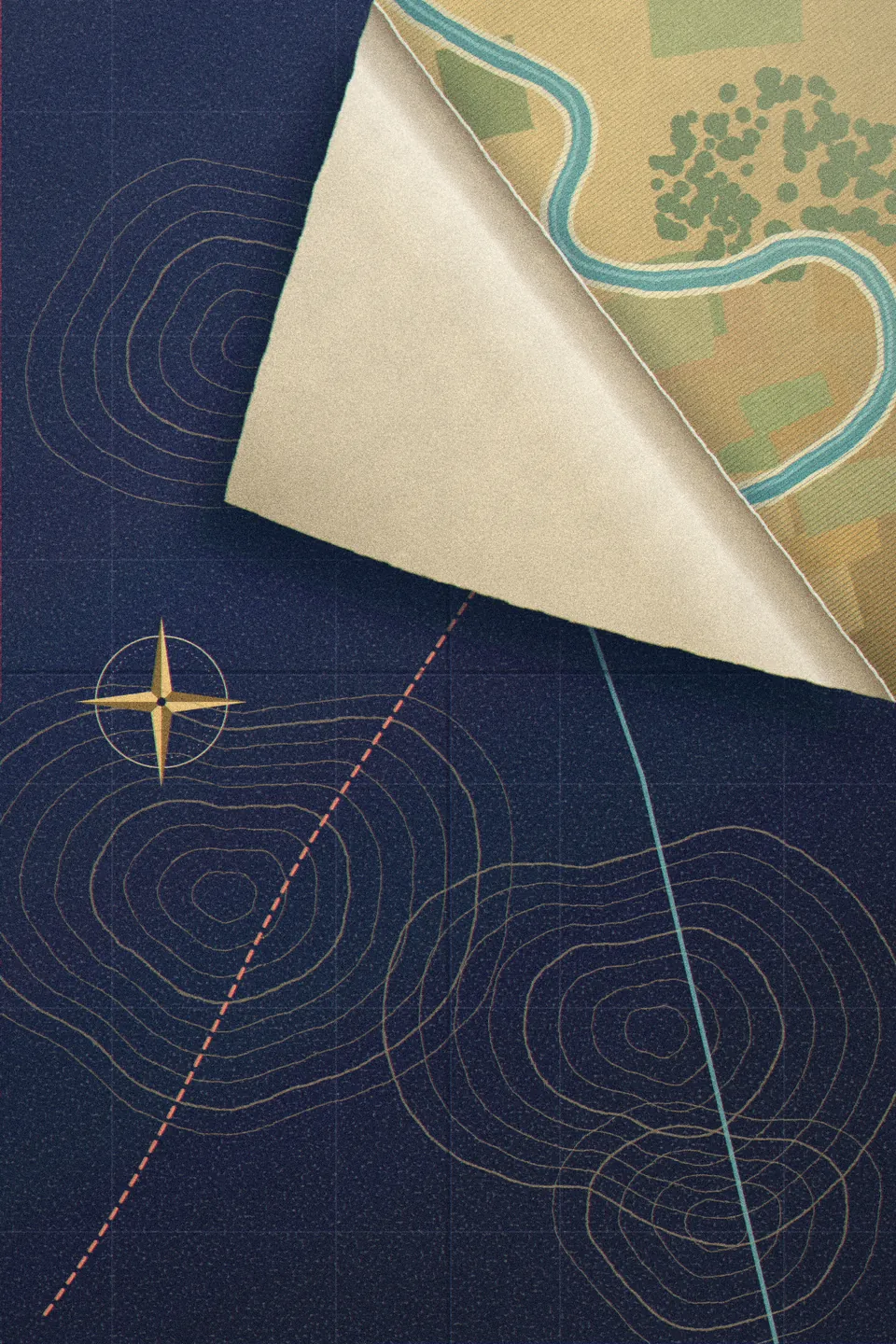
In the early 1930s, the Polish-American thinker Alfred Korzybski put the idea in a form that has travelled ever since: the map is not the territory. In his book Science and Sanity, he added the part people forget. A map is not the territory, but if it is correct, it has a structure similar to the territory, and that is what makes it useful.
Korzybski was not really talking about geography. He meant everything we use to stand in for reality. Words. Numbers. Theories. Plans. Every one of them is a compression, a smaller and simpler thing that lets you reason about a bigger and messier one.
You cannot live without maps. Nobody can hold a whole city, a whole company or a whole person in their head at once. So you use a street map, a revenue chart, a résumé. Using maps is not optional. What matters is whether you remember, at the moment of decision, that you are holding one.
The statistician George Box said it in a line that is now on a thousand slides: all models are wrong, but some are useful. The useful part keeps you moving. The wrong part is where you get hurt.
There are a few classic ways it happens.
The map was drawn for someone else's journey
In 1569, the Flemish cartographer Gerardus Mercator published a world map with a special property. A line of constant compass bearing appears as a straight line on it. For a sailor crossing an ocean, that is enormously useful. You draw a straight line from where you are to where you want to go, read off the bearing, and steer.
To get that property, Mercator had to stretch the map more and more as it moves away from the equator. On his projection, Greenland looks roughly as big as Africa. In reality, Africa is about fourteen times larger.
Mercator did nothing wrong. His map was built for navigation, and it was excellent at navigation. The problem came later, when it hung on classroom walls for generations and quietly taught millions of children a false picture of the size of the world.
Every map is drawn for a purpose, and it distorts everything outside that purpose. A sales dashboard is drawn to show revenue, so it is quiet about whether customers are happy. A résumé is drawn to get an interview, so it is silent about how someone behaves when a project is failing. The map is doing its job. You are asking it a question it was never built to answer.
The map copied another map
In 1798, a respected English geographer published a map of West Africa showing a great mountain range running east to west across the region. They were called the Mountains of Kong.
They did not exist.
Explorers' reports had been stitched together with guesses and theory, and the mountains appeared. Then other mapmakers copied them, because the first map was authoritative. The Mountains of Kong stayed on maps of Africa for most of the following century, until a French expedition in the late 1880s travelled through the area and found no such range.
For roughly ninety years, people drew a mountain range because other people had drawn it.
This is how maps go wrong in organisations too. A market size gets estimated once, rough and hopeful, and then it is quoted in a deck, then a report, then a news article, and soon everyone "knows" it. A belief about what customers want gets written in a strategy document and copied into the next one, and nobody goes back to ask customers. The more often a map is copied, the more solid it looks, and the further it can drift from the ground.
For roughly ninety years, people drew a mountain range because other people had drawn it.
You reshape the territory to fit the map
The most dangerous failure is the one the political scientist James C. Scott describes in Seeing Like a State.
In the late eighteenth century, forest officials in Prussia and Saxony wanted to manage their forests for revenue. A real forest is a nightmare to measure: different species, different ages, tangled undergrowth, fallen trees, animals, fungi. So they built a simpler picture. They looked at the forest as a stock of timber, a number of trees of a given size, producing a given volume of wood per year.
Then they did something remarkable. They made the forest match the picture. They cleared the undergrowth, planted single species in straight rows, all the same age, easy to count and easy to harvest.
For the first generation of trees, it worked beautifully. The yields were excellent and the tables were neat. But the messy parts they had removed had been doing quiet work, keeping the soil alive and the trees healthy. By the second and third rotations, the forests were struggling, and the Germans gave the result a grim name: Waldsterben, forest death.
The map had been simplified for the convenience of the people reading it. Then the territory was simplified to match the map. The things left off the map turned out to be the things holding everything up.
You see this pattern wherever an institution is managed through a picture of itself. A team becomes the org chart, and the informal friendships that really moved information get broken up in a restructure. A product becomes the roadmap, and the strange feature that loyal users depended on gets cut because it never fit a category. The picture gets cleaner. The thing itself gets weaker.
Reading the ground
So what do good thinkers do differently? They do not abandon maps. They hold them more loosely, and they keep a few habits.
They walk the ground. When Wilfred Thesiger crossed the Empty Quarter in the late 1940s, the maps of that sea of sand were mostly blank. His book Arabian Sands is full of admiration for his Bedu companions, whose knowledge of the desert lived in their eyes and memory, not on paper, and who could read a line of camel tracks the way you might read a message. That kind of knowledge comes only from being there. For a founder it means talking to customers yourself. For a manager it means sitting with the team and watching the real work, not just reading the weekly report.
They ask who drew the map, and for what. A number made to impress investors, a forecast made to win a budget, a review written to please a boss: each is shaped by its purpose. Knowing the purpose tells you where the distortion probably sits.
They look at the edges. Every map has a border, a point past which it says nothing. Ask what this model leaves out. The answer is often where the surprise is waiting.
They keep more than one map. A financial model, a conversation with ten users and a walk through the warehouse will disagree with each other. The disagreements are the most useful part, because they show you where at least one of the maps is wrong.
They notice when the ground disagrees. When reality does something your model said was impossible, the model is the thing that needs to change. It sounds obvious. It is one of the hardest things for a person or a company to actually do, because we fall in love with our maps, especially the ones we drew ourselves.
The newest maps of all
There is a fresh reason this old idea matters. We are building machines that are, in a sense, enormous maps of human writing. They can describe a city they have never walked, a feeling they have never had, a market they have never sold into. Their descriptions are often excellent, and they are still descriptions.
The more fluent the map, the easier it is to forget that you are holding one.
Borges's empire made a map so complete it replaced the world, and then it was left to rot in the desert. The animals and the beggars sheltering in the ruins did not need it. They knew where the water was.
Use every map you can find. Just never stop looking up from it.
Further reading
- Science and Sanity — Alfred Korzybski
- Seeing Like a State — James C. Scott
- On Exactitude in Science — Jorge Luis Borges
- Arabian Sands — Wilfred Thesiger